- Tsunamis in the East China Sea
- Sasebo Port (Nagasaki Prefecture)
- Nagasaki Port (Nagasaki Prefecture)
- Iki City (Nagasaki Prefecture)
- Gunkanjima/Hashima (Nagasaki Prefecture)
- Amakusa City Ushibuka Town (Kumamoto Prefecture)
- Makurazaki City (Kagoshima Prefecture)
- Kariyushi Private Beach (Okinawa Prefecture)
- Busena Marine Park (Nago City, Okinawa Prefecture)
- Naha Airport/Senaga Island (Okinawa Prefecture)
- Miyako Island (Okinawa Prefecture)
- Ishigaki Island (Okinawa Prefecture)
- Tsunamis in the Pacific Ocean
Tsunamis in the East China Sea
The western part of Kyushu, facing the East China Sea, experiences meteorological tsunamis due to its topography and climate. Meteorological tsunamis share many similarities with regular tsunamis but are caused by sudden atmospheric changes rather than earthquakes. These phenomena are primarily triggered by rapid changes in atmospheric pressure, such as the passage of fronts, squalls, and thunderstorms, which cause water displacement. Although usually minor, these displacements can cover a wide area.
When displaced water moves into shallow waters, bays, or enclosed areas like ports, the waves can amplify and develop into meteorological tsunamis. While not as powerful as regular tsunamis, meteorological tsunamis can cause severe flooding along the coast and damage ships and structures. Characteristics of meteorological tsunamis include their rapid movement, localized impact, and difficulty in prediction. Their speed makes them particularly dangerous as they can strike with little warning.
In the Southwest Islands, in addition to tsunamis caused by the Nankai Trough earthquake, there are also risks of tsunamis from earthquakes originating around Okinawa, Taiwan, and Southeast Asia.
Regions at High Risk of Tsunamis
Nagasaki/Kumamoto/Kagoshima/Okinawa
Sasebo Port (Nagasaki Prefecture)
Nagasaki Port (Nagasaki Prefecture)
Iki City (Nagasaki Prefecture)
Gunkanjima/Hashima (Nagasaki Prefecture)
Amakusa City Ushibuka Town (Kumamoto Prefecture)
Makurazaki City (Kagoshima Prefecture)
Kariyushi Private Beach (Okinawa Prefecture)
Busena Marine Park (Nago City, Okinawa Prefecture)
Live cameras installed underwater broadcast the tropical fish and coral reefs. You can enjoy the beautiful scenery of the coral-covered seabed and the colorful fish of the subtropical region.
Naha Airport/Senaga Island (Okinawa Prefecture)
Miyako Island (Okinawa Prefecture)
Ishigaki Island (Okinawa Prefecture)
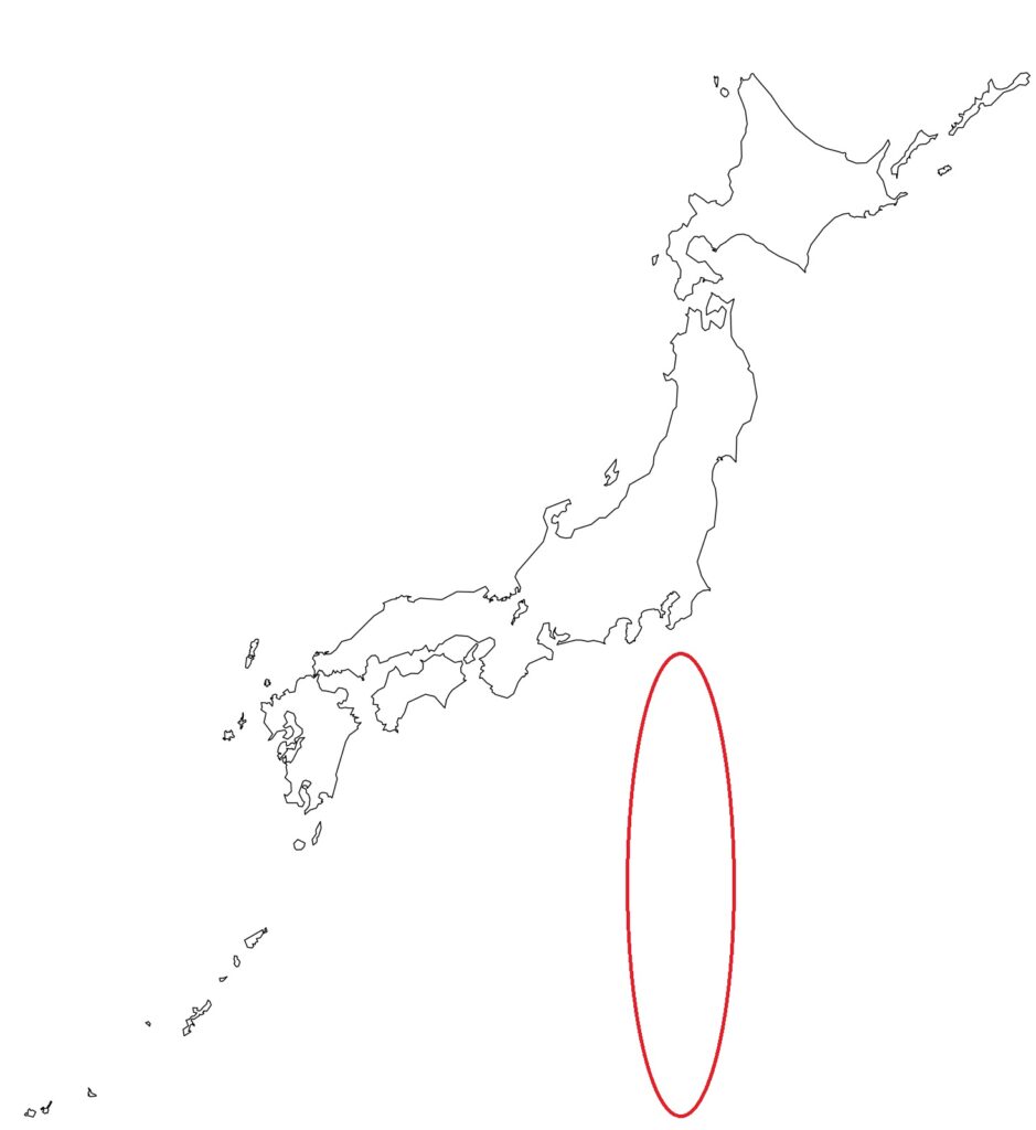
Tsunamis in the Pacific Ocean
Tsunamis in the Pacific Ocean can be caused not only by earthquakes but also by submarine volcanic eruptions. One example is the submarine volcanic eruption off Tonga in January 2022. Although this eruption occurred about 8,000 km away from Japan, tsunamis reached the Pacific coast of the Japanese archipelago. Tsunamis exceeding 1 meter were observed in the Ogasawara Islands, and damage to ships and aquaculture facilities was confirmed in various locations. This demonstrates that tsunamis can propagate over a wide area due to sudden crustal movements or air vibrations (air shocks) caused by submarine volcanic eruptions. Particularly in the Izu Islands and Ogasawara Islands, where there are many active and submarine volcanoes, significant damage from tsunamis is a concern if an eruption occurs.
Additionally, earthquakes in the Pacific Ocean, even if distant, can cause significant damage. The 1960 Chile earthquake, for example, generated tsunamis that reached Japan 24 hours later, resulting in 142 deaths and missing persons.
As an island nation surrounded by the sea, Japan is always at risk of tsunamis. This risk is not only from earthquakes occurring near Japan but also from events occurring far away.
Regions at High Risk of Tsunamis
Tokyo (Izu Islands, Ogasawara Islands)

Izu Oshima (Tokyo)
Motomachi Port
Okada Port
Toshima (Tokyo)
Toshima Port
Toshima Village
Toshima Port Pier
Niijima (Tokyo)
Wakago Fishing Port
Niijima Port
Shikinejima (Tokyo)
Nobushi Fishing Port
Kozushima (Tokyo)
Kozushima Port
Miura Fishing Port
Miyakejima (Tokyo)
Ako Fishing Port
Miike Port
Mikurajima (Tokyo)
Mikurajima Port
Aogashima (Tokyo)
Sanpo Port
Hachijojima (Tokyo)
Kaminato Port Sokodo
Yaene Fishing Port
Chichijima, Ogasawara Islands (Tokyo)
Futami Port
Futami Port Pier
Kominato Beach
Hahajima, Ogasawara Islands (Tokyo)
Oki Port


